Tag Archives: Hiking

Stokes State Forest

Over the border

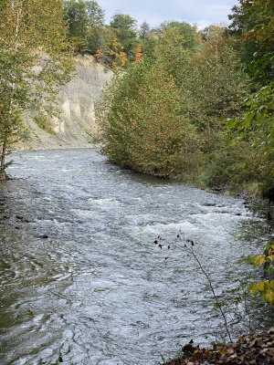
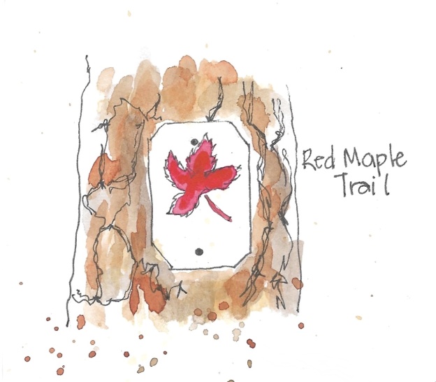
Alltrails is a great app that I use to find hikes that fit me. Looking at a 30 minute or less travel time led me to New Jersey.  So this week I went to Stokes State Forest to try out the Red Maple and Steffens trails. About halfway you can add extra distance and go to the Ladder Trail, which leads to the Appalachian Trail and a scenic overlook from the Kittatinny Ridge. I decided to save that for another day.
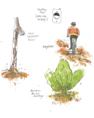
I wasn’t disappointed with this hike – a bit wilder with a much less traveled path, and only one other person seen on it. And that person was on a bicycle, which was quite a surprise.
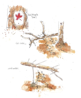
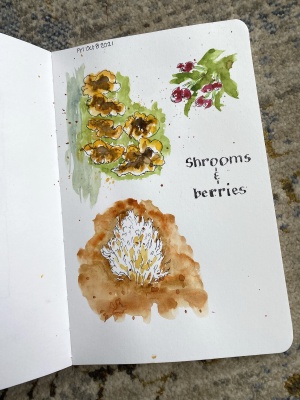
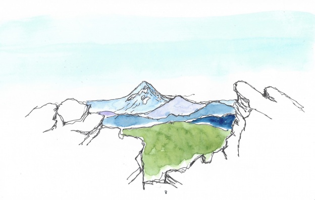
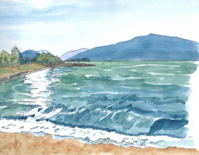
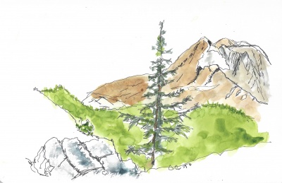
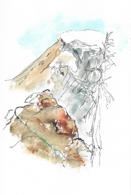
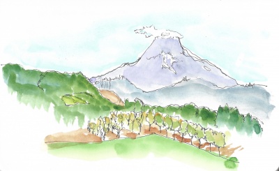
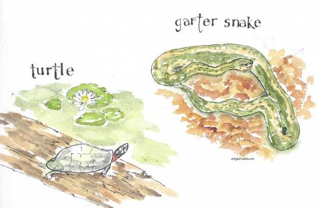
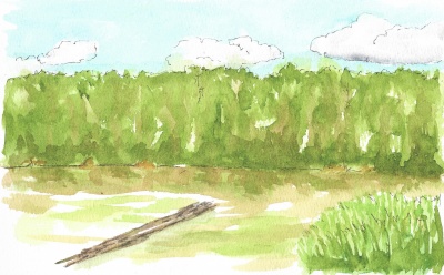
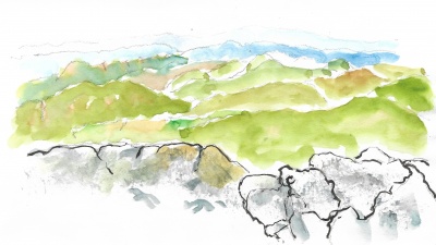
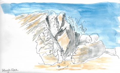
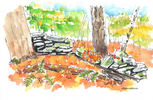
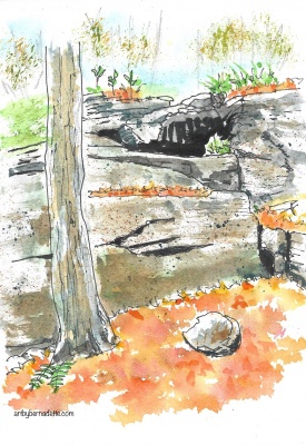
The weather was warm, but too windy to stop and try a sketch, so these were done later at home.
Fallen trees did not block the trail, instead there were some to climb over and some to go under.  A white fluffy deer tail was all I spotted as it bounded away, same with the back end of a large turkey who did not like me so close.  I saw lots of eastern skunk cabbage, which added nice pops of green along wet areas.

Shortly after starting I stopped – to rest, of course, but also to really appreciate my surroundings and give thanks for being able to enjoy the fresh air, nature and solitude that replenish my spirit. Grateful!Stokes State Forest

Stokes State Forest

Shrooms and berries

Back to local travel

Back home, I decided to try a trail that was new to me.  Monkey Run loop near Ithaca, NY.  A really nice walk in the woods, it was quite muddy in places, and no one else out, but surprise, surprise, lots of mosquitoes!  Apparently my bug juice wore off, and they (skeeters) really began to feast on me.  I was close to the end, so I picked up my pace, annnd missed a turn that would’ve taken me back a bit sooner.  It was supposed to be closer to 3 miles, but it ended up 4, but the good thing was it only took me 2 hours.  I’m definitely not a speed hiker, but the bites gave me some incentive to hurry! Fall Creek, Ithaca, NY

Not much for views, the best part followed Fall Creek, so my eyes were drawn (hehe) to what was on the ground, lots of fungi and berries.  Sketched at home AFTER I was safe from the skeeters.Shrooms and berries

View of Mt. Hood from top

The Northwest – Sleeping Beauty Mountain trail

After a worrisome day, waking up with severe vertigo, I nearly cancelled this trip.  Wasn’t sure how I could get on a plane with it.  Fortunately, it mostly cleared up, so the trip was on!  Still with traces of vertigo, flights and travel went smoothly, and we got to relax my first afternoon in Hood River.  Love Hood River, great vibes, and great people.

Sunset at the Columbia River

Nearly sunset at the Columbia River

We agreed to do the most difficult, but most “worth it” hike first. So day 2, we drove (I say we, but my friend did all the driving.). Got to give her credit for hosting, driving and being a great friend.  So we drove across the Columbia River to Washington, then up some back roads, which turned to dirt roads, with some edgy curves.  Took us about an hour to get to the trailhead, and there was only one other car there, which was great. “Only” a little over 2 miles in, but with 1,365’ gain.  And 6,000’ elevation. I’m not used to that at all, add the fact that it got a little scary towards the top with some vertigo kicking in.  Some of the last steep part was on my hands and knees, I didn’t trust standing up.
But, I must say, it was definitely WORTH IT! Proud of us both, and views of four separate mountains from the top.  Basically, we climbed a small mountain to get a better view of the big ones. 🙂

So relieved to have a chance to sit, I did several sketches from up here.  Added color back at home.

View of Mt. Adams from the trail

View of Mt. Adams, shortly before reaching the top

View of Mt. Hood from top

View of Mt. Hood from top

Another view of Mt. Adams from the top

Another view of Mt. Adams from the top. The clouds were starting to cover the top.

After all that work, we stopped at Mt. Hood winery (of course!) and I did a quick sketch while we relaxed.

View of Mt. Hood from Mt. Hood winery

View of Mt. Hood from Mt. Hood winery

I guess I’ll have to return, this place has so many amazing views, wine and delicious food!

Map Oregon & Washington

Headed west (northwest, that is)

Time to “just go” again!  International travel is not a sure thing, so I’ll stick to the USA instead. The northwest scenery – mountains, woods, and waterfalls just look amazing.   I am trying to choose this lighter pack that folds to pocket size, but may end up with my usual one. Here’s a “selfie” and a quick map.
Looking forward to catching up with a dear friend, hiking, dining and wine! Hope to share some gorgeous views and sketches.

New Outlander day pack

   New Outlander day pack

Map Oregon & Washington  Selfie art by bernadette

Turtle and garter snake

Lily Lake loop

Had a lovely walk around Lily Lake in Chenango Valley State Park the other day.  Blue skies with puffy clouds, everything seemed an unreal green. Lily lake at CV St Pk
Lucky to see a turtle sunning on a log, and nearly tripped on this large garter snake, nestled in the leaves. Turtle and garter snake
Last but not least, my favorite bird of prey, bald eagles at their nest on my way home. Bald eagle at nest

Appalachian trail marker

Shenandoah – let’s go hiking! (and sketching!)

After arriving at noon, I was able to take in 2 very nice hikes.  Started off with Snead Farm Dickey Ridge loop, 3.6 miles.  Should have been easy, like it was rated, but I was surprised to find myself huffing after a short distance.  I realized we were at an elevation of 2,400’, not what I’m used to, so I just took my time and remembered it’s not a race!  There was hardly anyone else on this trail, which was a great way to enjoy the park and the many views. Lunch had a wonderful view which I have not done justice with this quick sketch. Sorry!

Lunch view fromSnead Farm Dickey Ridge loop

Lunch view from Snead Farm Dickey Ridge loop

Stopped for a quick sketch of these bloodroot flowers, coming out to welcome me!  The half opened leaf wrapped around the stem will open fully soon.
Blood root flower

Got in a second shorter hike, Fox Hollow, which included a cemetery and a pink feather. (cardinal maybe?) Red/ pink feather

The second day, I got out early and beat the crowd to Mary’s Rock.  This hike includes a portion of the Appalachian Trail, so I was happy to get this pic of an AT trail marker with the appropriate headgear. 😉   Appalachian trail marker


Sat down at the top and did a few sketches.

View from Mary’s Rock

View from Mary’s Rock

View at Mary’s Rock

View at Mary’s Rock

Also got a second shorter hike in after lunch at Skyland (where I stayed) to Stony Man. This trail was the most crowded and I used the horse trail (no horses on it yet) to go back down, which avoided most of the people.  What can I say? I appreciate the solitude of hiking.

My last scheduled day, Wednesday, was going to rain ALL day, so I checked out early, and caught the view from a few overlooks along my way out, even got another quick sketch in.  Will have to add color later!

Pinnacle overlook

Pinnacle overlook

I definitely would love to return here and complete some more of the 28 (!) hikes I saved! Thank you Shenandoah! 💕

Shenandoah Park map

Shenandoah National Park

Very excited to try some new hiking trails in a National Park that has much natural beauty. Here’s a map for you, I didn’t really know much about it until I started researching hike ideas.

I thought it would be simple to choose a couple trails that suit my ability and provide great views or a waterfall, but I’ve only narrowed it down to 28! And I’ll only have a couple days there!
Oh well, I guess a return visit will be needed. 😉Shenandoah Park map

Hikers shovel

I choose this one!

I’ve decided to give overnight backpacking a serious try.  There’s lots of gear needed, and even gear that you’d prefer not to think about!  (ahem, toilet stuff) One necessary item is a shovel, so I went online to research. After reading these rave reviews, I just knew I had to have this one! 😁. Hikers shovel

Old stone wall at Prompton St Pk

The joy of autumn hiking!

It was a decent Sunday, so I thought I’d try a Pennsylvania hike for a change. Not – a rocky one like Hawk Mtn – but something different.  The AllTrails app lists a 5 mile hike on East Shore trail, Eagle Pass and Cliff Trail at Prompton State Park as ‘moderate’. Only an hour away, so off I went.

The joy of autumn 🍂 hiking! Crisp leaves crunched underfoot, frightening a flock of turkeys as I approached. The well worn path was hidden beneath the colorful carpet. This caused me to retrace my steps a couple times to return to the marked trail.

So happy to enjoy the lovely colors and feel of autumn!

Old stone wall at Prompton St Pk

Love old stone walls!

Prompton State Park

Heading downhill, these stone ledges concerned me at first, but looking back at them, I can see how they are terraced, making it an easy drop!