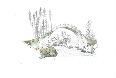
Last night’s B&B was just up the road from Eilean Donan, so that was the first stop today. This castle, situated on an island, was used by Clan Mackenzie. The original was destroyed in 1719, then rebuilt in the 1920s. We didn’t cross the bridge to go inside, but enjoyed a bit of sunshine while we sketched.
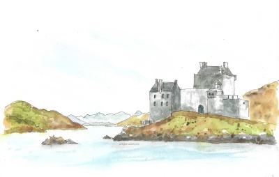
Eilean Donan castle
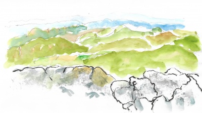
Next up was Portree, a colorful town on Skye. Being here on a Sunday, it was very quiet, with only a few food places open. I did attempt to draw the colorful row of buildings, but quickly realized a photograph would do. Too many lines and rooflines! Instead, I turned to the water and did a more relaxing sketch with simple lines. 🙂.
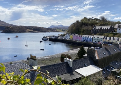
Portree, Isle of Skye
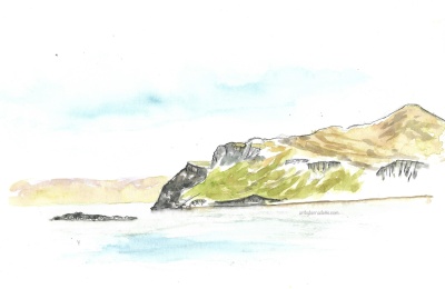
View from Portree
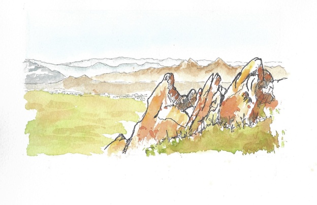
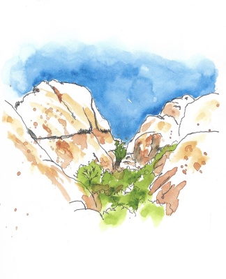
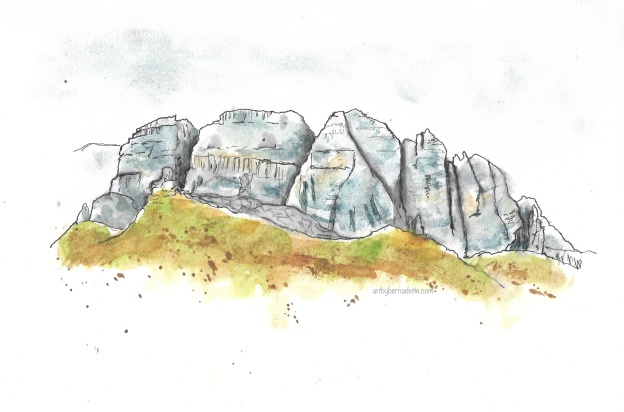
We then headed north to the Old Man of Storr, a sturdy ragged profile of spiked rocks. Images of this scene were what drew me to Scotland! I had thought I’d do the short but steep hike, but decided not to. A much easier choice was to sit and sketch part way up the trail.

Old Man of Storr
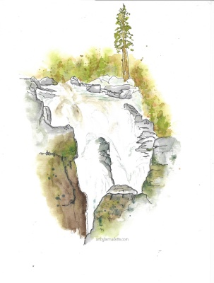
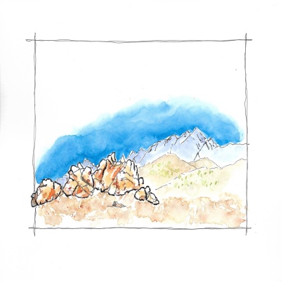
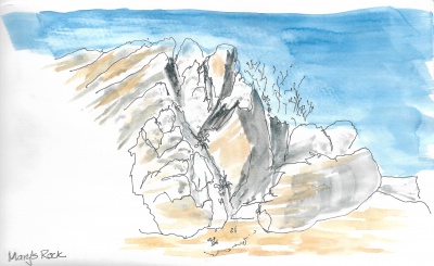
The final sketch site of the day was Kilt Rock. This is a stunning cliff formation that has a nice viewing platform. It was later afternoon, and I think this was on every tourist’s list for that time! A bus would arrive and unload the camera-wielding visitors. They shoot their shots, then back to the bus they go, leaving us a bit of peace until the next bus. What can I say – we were tourists too!
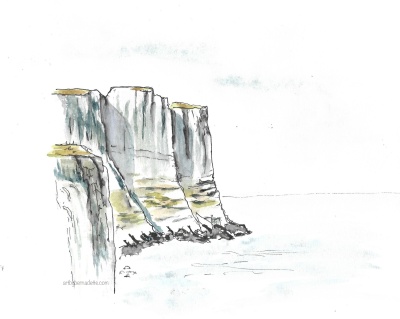
Kilt Rock
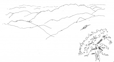
The final journey of the day was (I thought) a short drive across the Trotternish peninsula. I was SO wrong! It wasn’t that long, but – the entire way was a narrow, twisty, mountainous road. Here’s where I thanked my lucky stars that Cathy was driving! When a vehicle approached from the opposite direction, one vehicle needed to reverse to a place so the other could pass. I think we both were holding our breath until we got to the end. Cathy would remind me (loudly) to watch for approaching vehicles! 😂
But there were sheep! Lots of baby lambs, they were so adorable! 🐑 Still, I know whenever I return to Scotland, that road will be avoided!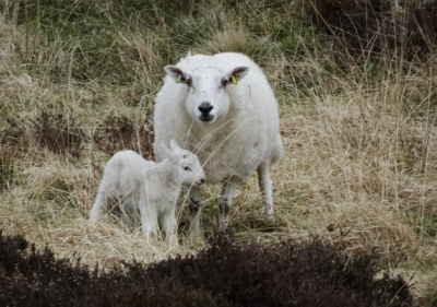 Just a wee bit more of our driving tales to come, stay tuned! 🏴