So we did have a few days in Edinburgh, and later I may share our adventures there and in England, but for now here are the places we visited on our drive. (And it was a LOT of driving!)
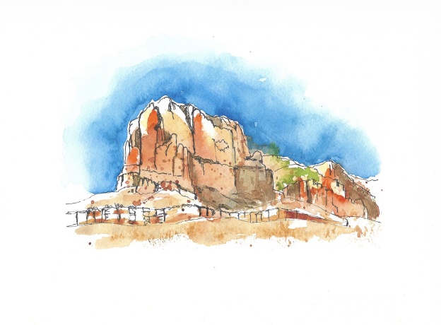
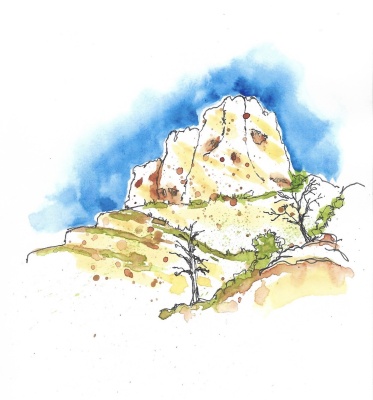
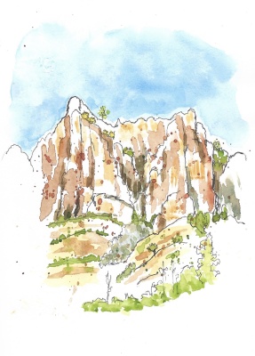
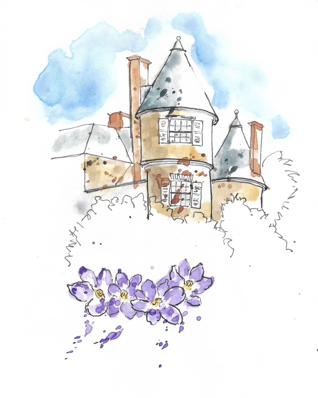
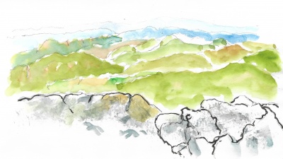
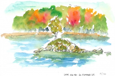
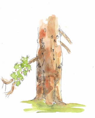
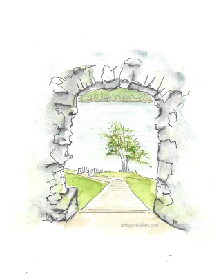
Day 2 we left our B&B in Inverness and first headed south to Urquhart Castle. It’s abandoned, except for tourists (like us) and located on Loch Ness. (Cue Nessie jokes…) We spent quite a while there, with lots of sketching viewpoints and a cafe and gift shop.
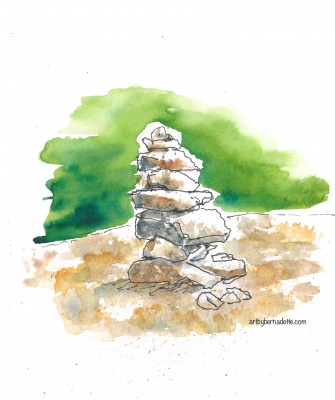
Urquhart Castle.
at Urquhart Castle
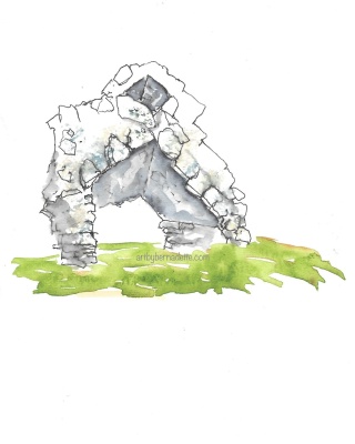
at Urquhart Castle
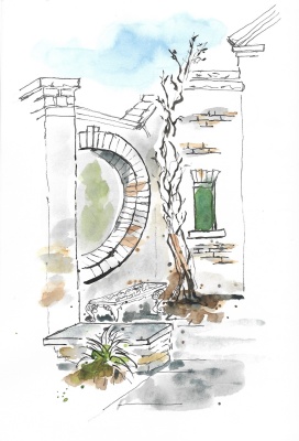
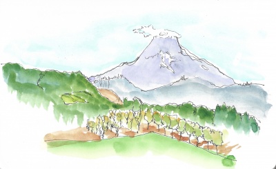
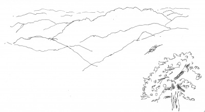
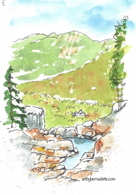
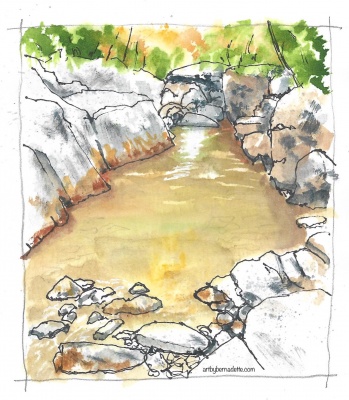
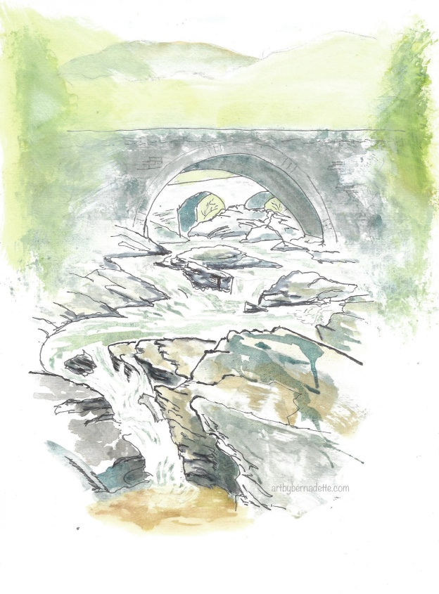
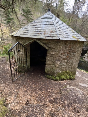
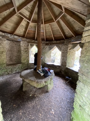
Continuing south, we stopped at Invermoriston Falls, which feeds into Loch Ness. Finding a summer house allowed us to sit and sketch under a roof – excellent for the unpredictable Scotland weather!
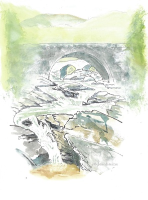
Invermoriston Falls
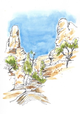
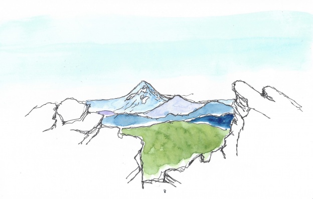
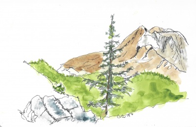
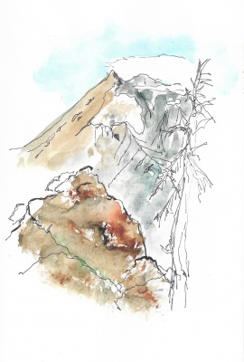
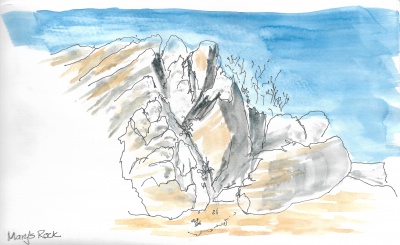
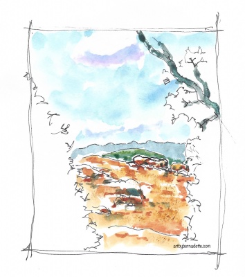
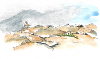
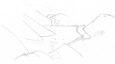
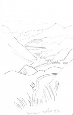
From there, we turned west and found a steep and narrow road leading to stunning views from Ratagan Pass. It was a little chilly, but the sun kept trying to peek through. I wasn’t happy with my on-site sketch, so I tried it again at home. They’re nearly identical, wonder why I bothered! 😆
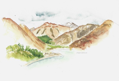
Ratagan Pass
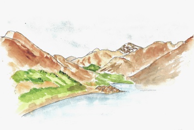
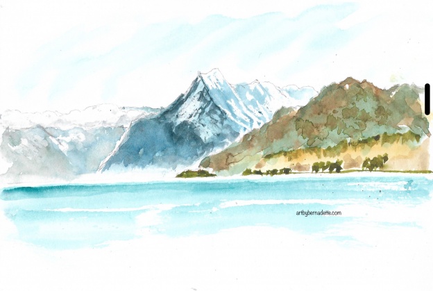
Ratagan Pass 2nd try
Leaving Ratagan, we arrived at our last B&B before entering the Isle of Skye.
stay tuned for our Isle of Skye dramatic landscapes!