On what was supposed to be my last day in Texas, we drove the 2 hours to Guadalupe Mountains National Park to do what might be the most challenging hike of the week.
We did the Devil’s Hall trail, nearly 5 miles, with an elevation of 6,400’. Guadalupe Mountain (adjacent) is the highest point in Texas, at 8,751’.
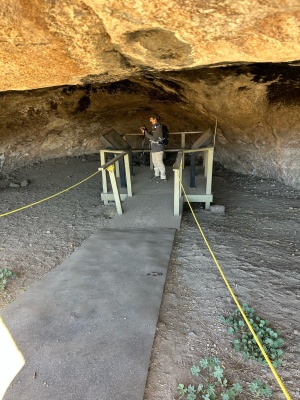
The trail started off relatively easy, then switched to a wash, where we scrambled over large boulders, until reaching near the end. I decided not to attempt the final scramble around a tree, crossing over rocks in a stair formation. It probably wasn’t that difficult, but I was near the end of my energy, and we still had to go back over all those boulders, which grew larger in my mind as we returned. We had a bit of a challenge when we missed a trail turn on our return. I track my hikes with Alltrails, and the result where we walked around looking for the correct path looked like an Etch-a-Sketch drawing! 😆

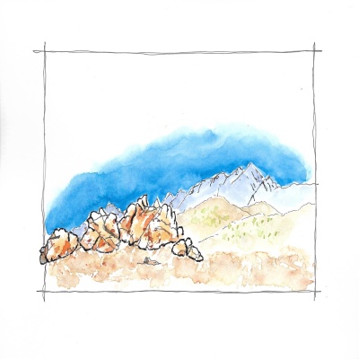
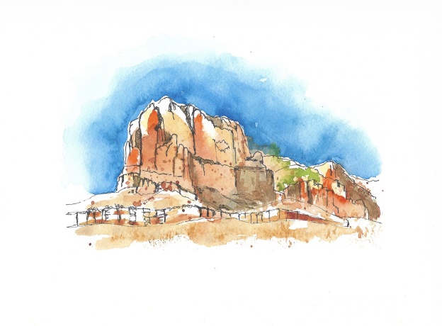
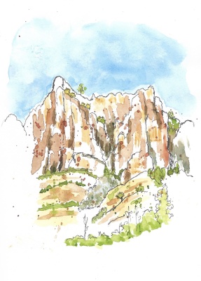
El Capitan at Guadalupe Mountain Nat’l Park – what you see as you approach the park
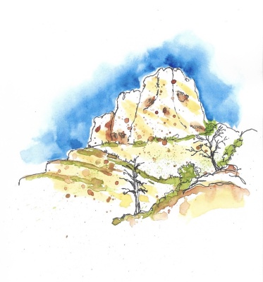
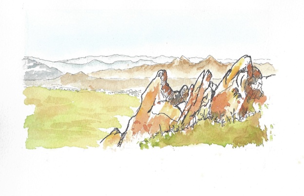
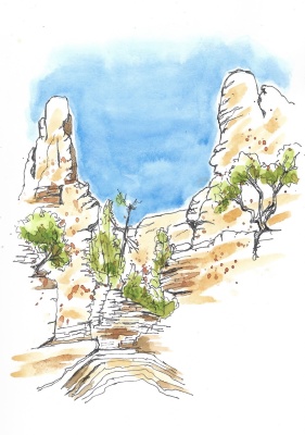
Devils Hall trail sketched on site
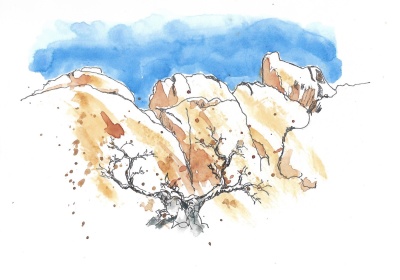
Another Devils Hall trail sketched on site
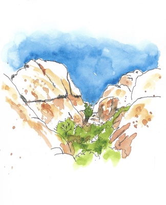
Near the end of Devil’s Hall trail ( where I decided to stop!)
After our hikes, I was glad that I had prepped for the higher elevations by doing longer hikes with additional weight in my pack at home. I had no problem with altitude sickness, and our hikes were under 5 miles each, so not too challenging.
The next morning, at 3 am (!) my flight was delayed, so I had an extra day in El Paso. We spent it around the city, and enjoyed a delicious birthday lunch with Eric and his sister. So a days delay return to home turned out to be a lovely celebration. 🥰