After a worrisome day, waking up with severe vertigo, I nearly cancelled this trip. Wasn’t sure how I could get on a plane with it. Fortunately, it mostly cleared up, so the trip was on! Still with traces of vertigo, flights and travel went smoothly, and we got to relax my first afternoon in Hood River. Love Hood River, great vibes, and great people.
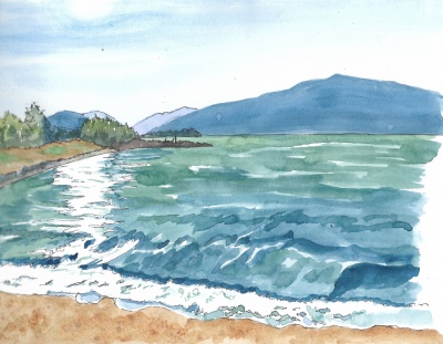
Nearly sunset at the Columbia River
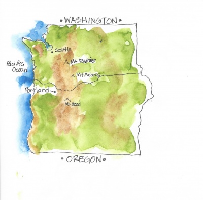
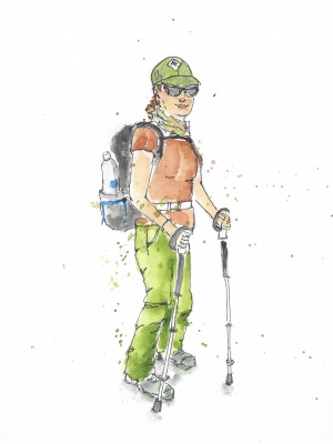
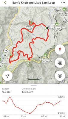
We agreed to do the most difficult, but most “worth it” hike first. So day 2, we drove (I say we, but my friend did all the driving.). Got to give her credit for hosting, driving and being a great friend. So we drove across the Columbia River to Washington, then up some back roads, which turned to dirt roads, with some edgy curves. Took us about an hour to get to the trailhead, and there was only one other car there, which was great. “Only” a little over 2 miles in, but with 1,365’ gain. And 6,000’ elevation. I’m not used to that at all, add the fact that it got a little scary towards the top with some vertigo kicking in. Some of the last steep part was on my hands and knees, I didn’t trust standing up.
But, I must say, it was definitely WORTH IT! Proud of us both, and views of four separate mountains from the top. Basically, we climbed a small mountain to get a better view of the big ones. 🙂
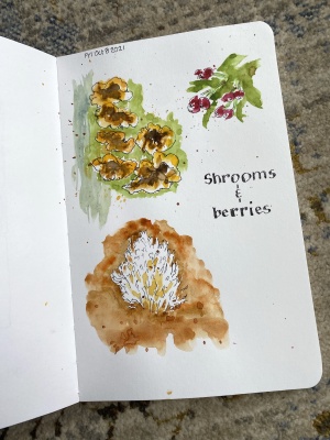
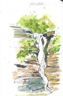
So relieved to have a chance to sit, I did several sketches from up here. Added color back at home.
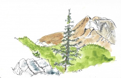
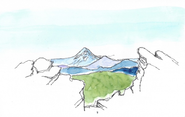
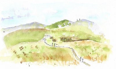
View of Mt. Adams, shortly before reaching the top
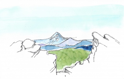
View of Mt. Hood from top

Another view of Mt. Adams from the top. The clouds were starting to cover the top.
After all that work, we stopped at Mt. Hood winery (of course!) and I did a quick sketch while we relaxed.
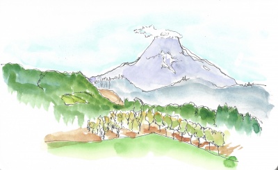
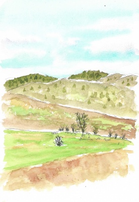
View of Mt. Hood from Mt. Hood winery
I guess I’ll have to return, this place has so many amazing views, wine and delicious food!